About Vaktérkép
Map quiz game with Hungarian settlements, landscapes and waters. * Adjustable difficulty level * Different tasks - Settlements - Public administration (neighboring countries, counties, districts) - Rivers and strea
Map quiz game with Hungarian settlements, landscapes and waters.
* Adjustable difficulty level
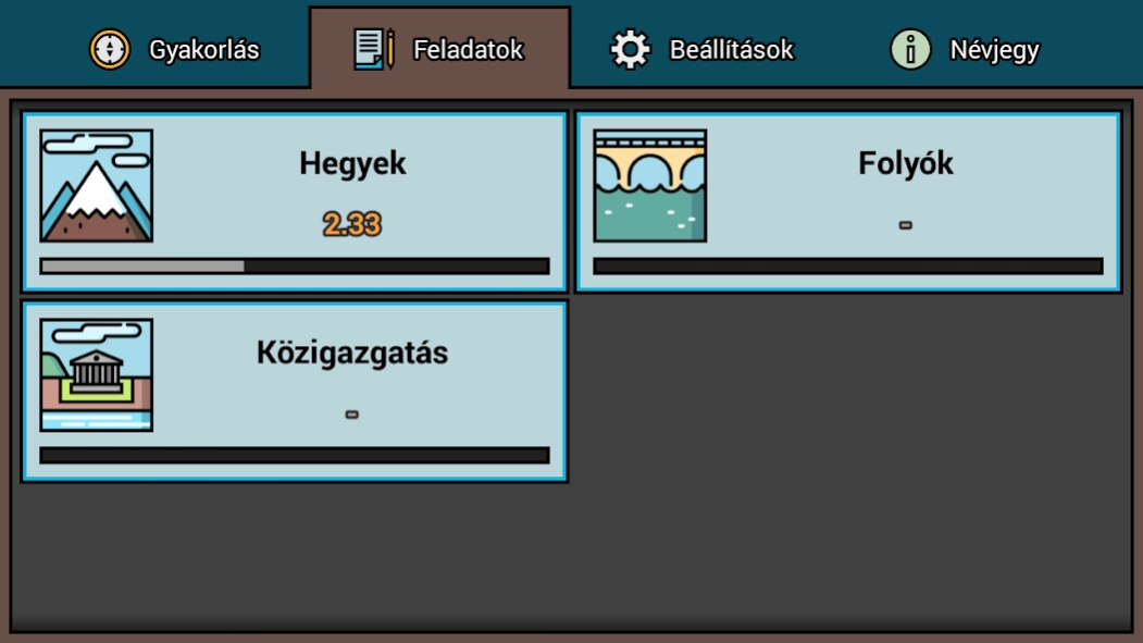
* Different tasks
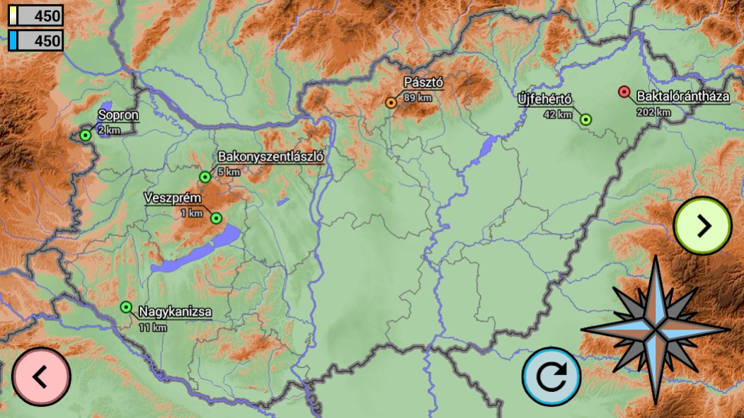
- Settlements
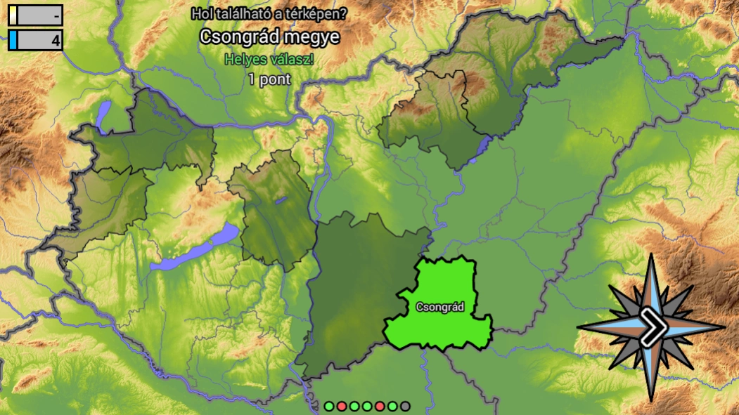
- Public administration (neighboring countries, counties, districts)
- Rivers and streams
- Landscapes and mountain peaks
- Roads
* Multiple map coloring
* Layers that can be turned on and off
* Zoomable map
* Multiplayer mode - on one device (up to 4 players)
* 3155 municipalities, 174 districts, 19 counties, 1 capital :-)
* 51 rivers and streams, 32 regions, 63 mountain peaks
* 87 main roads, highways and expressways
Icons made by Freepik & Hanan from www.flaticon.com is licensed by CC 3.0 BY
Previous Versions
Here you can find the changelog of Vaktérkép since it was posted on our website on 2023-04-05 15:14:46.
The latest version is 1.2.4 and it was updated on 2024-04-22 13:08:48. See below the changes in each version.
Vaktérkép version 1.2.4
Updated At: 2023-09-28
Changes: - Vármegyék
Vaktérkép version 1.2.3
Updated At: 2020-09-15
Changes: - Csongrád-Csanád megye
- Javítva: hibás megjelenítés hosszú képarányú készülékeken
Disclaimer
Official Google Play Link
We do not host Vaktérkép on our servers. We did not scan it for viruses, adware, spyware or other type of malware. This app is hosted by Google and passed their terms and conditions to be listed there. We recommend caution when installing it.
The Google Play link for Vaktérkép is provided to you by apps112.com without any warranties, representations or guarantees of any kind, so access it at your own risk.
If you have questions regarding this particular app contact the publisher directly. For questions about the functionalities of apps112.com contact us.